

A cadastral survey is done by a licensed land surveyor and is a legally binding land survey that defines, re-establishes and records property boundaries and land parcel ownership for state title systems.
You need a licensed surveyor when you want to:
- Confirm location of property boundaries and boundary marking.
- Show property boundaries and off sets on any feature and level survey plan.
- Subdivide or re-align the boundaries of your property
- Undertake an application survey to claim land via adverse possession and/or amendments of title.
- Consolidate two or more titles.
- Create or remove easement and restrictions on title.
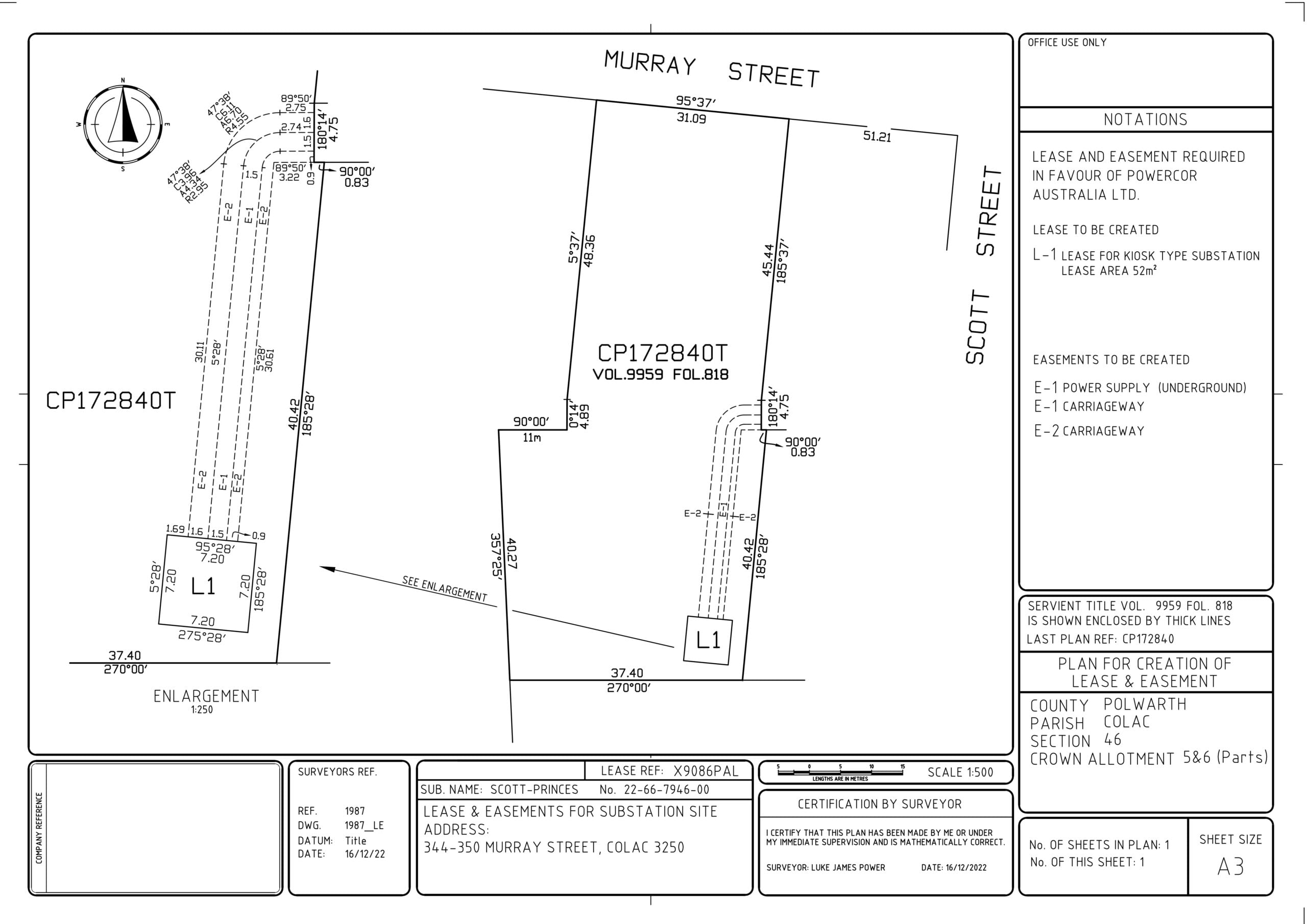
- Prepare Lease Plans
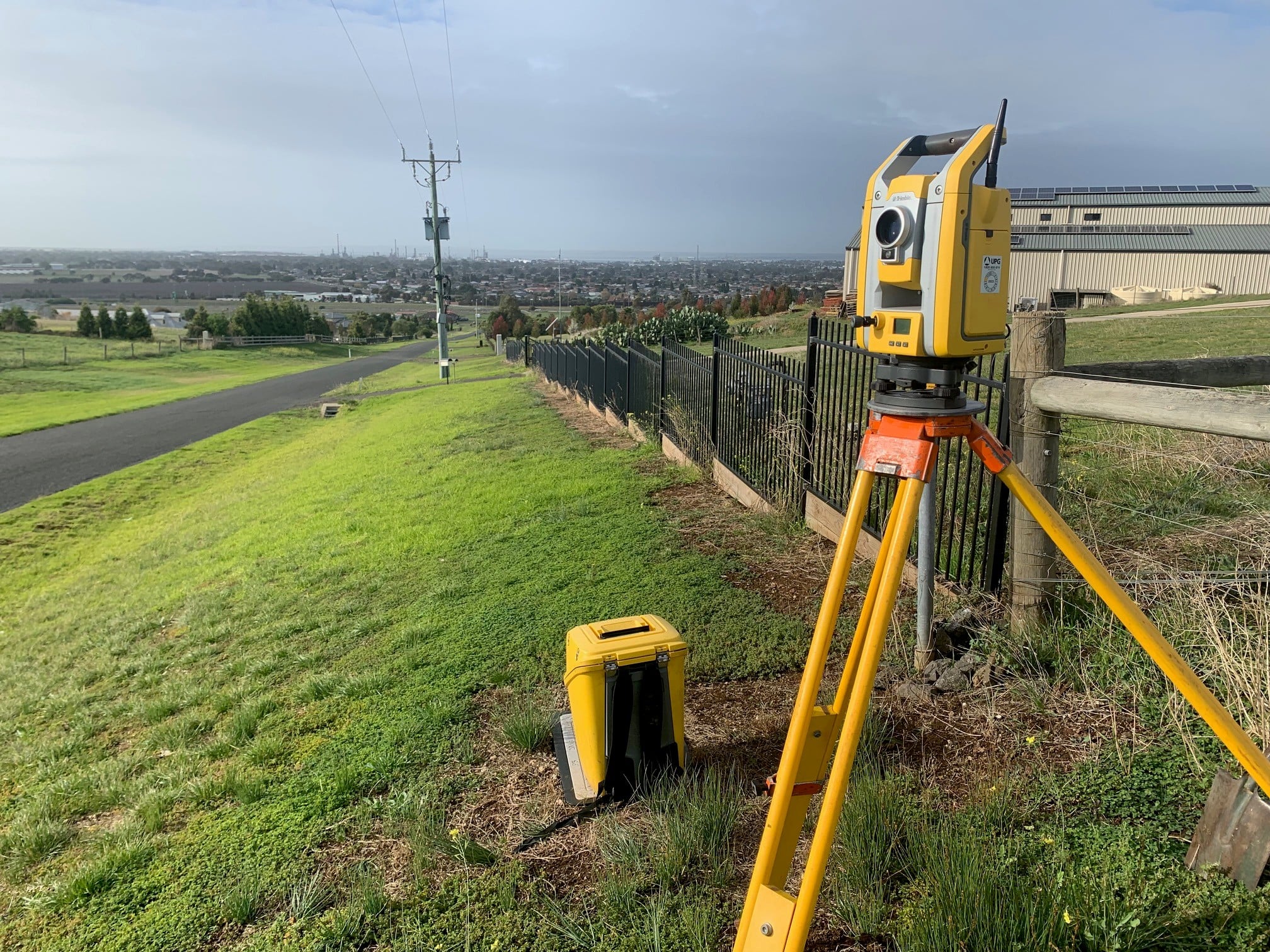
Protect your property
The law states that cadastral (property boundary) surveys must be conducted or supervised by a practising licensed surveyor. Surveys performed by unlicensed practitioners do not have any legal standing, and can compromise the future development of your property.
Always check that the surveyor defining any boundaries of your property is licensed in Victoria and legally entitled to do the job. If a surveying firm is engaged, confirm that the company uses a practising licensed surveyor to perform and/or supervise its cadastral surveys.
The Surveyors Registration Board of Victoria investigates and prosecutes unauthorised people who undertake cadastral surveys.
Title Surveys and Re-Establishment Surveys
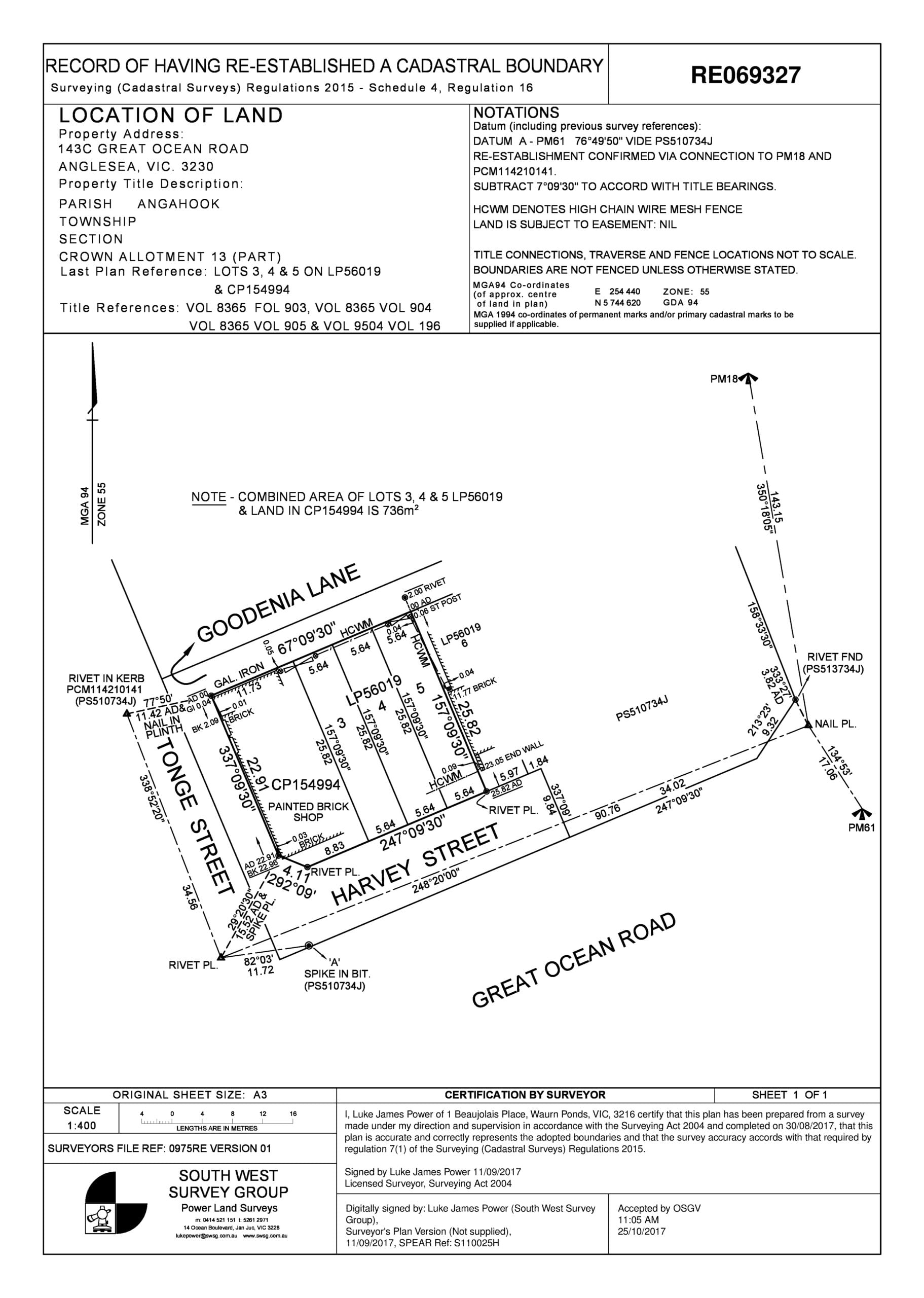
A title of land is an official record or legal document that proves who owns a specific piece of property. Title Surveys determine the location of the title relative to the existing occupation (fencing / buildings etc.) surrounding the site.
Title surveys help identify any issues and your rights regarding the title. Title surveys can avoid costly delays and any potential legal action from adjacent property owners. Marking the title boundary with pegs or other monuments and preparation and provision of a “Plan of Re-establishment Survey”.
Lodgment of the Plan with Land Use Victoria as per the Surveying (Cadastral Surveys) Regulations 2025 – Schedule 1, Form 4, Regulation 16.
Subdivisions and Boundary re-alignments:
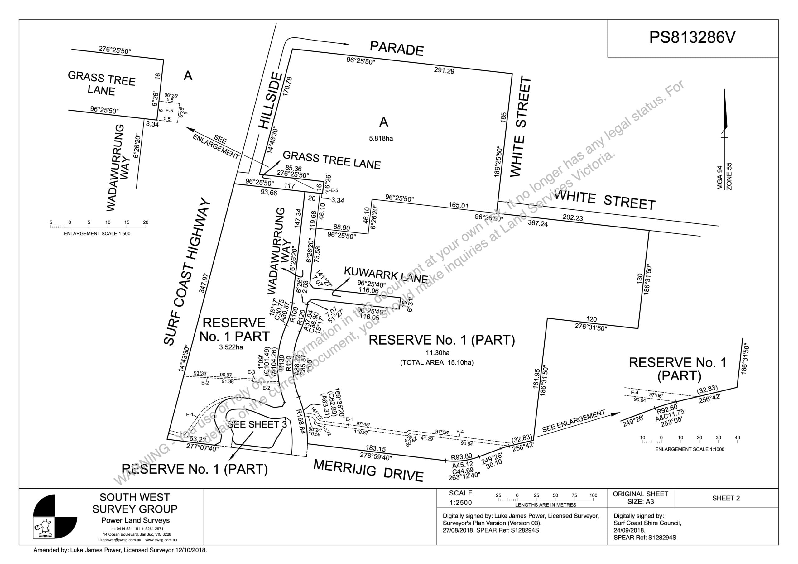
Subdividing is the process of dividing land into two or more parcels.
Boundary re-alignments can be used to move/adjust existing title boundaries.
With the expertise of a Licensed Surveyor South West Survey Group can assist with:
- Initial discussions and permit application with Council
- Preparation of the Plan of Subdivision and associated documents.
- Submission of the Plan to Council for certification and compliance
- Liaison with relevant authorities and Council.
- Guidance through the certification and compliance process including help with addressing planning permit conditions.
Application Surveys
Application surveys can be undertaken in order to amend title under the provisions of the Transfer of Land Act 1958.
These include but are not limited to:
- Adverse Possession Claims (Section 60)
- Amending / Updating titles with errors (Section 99 and Section 103)
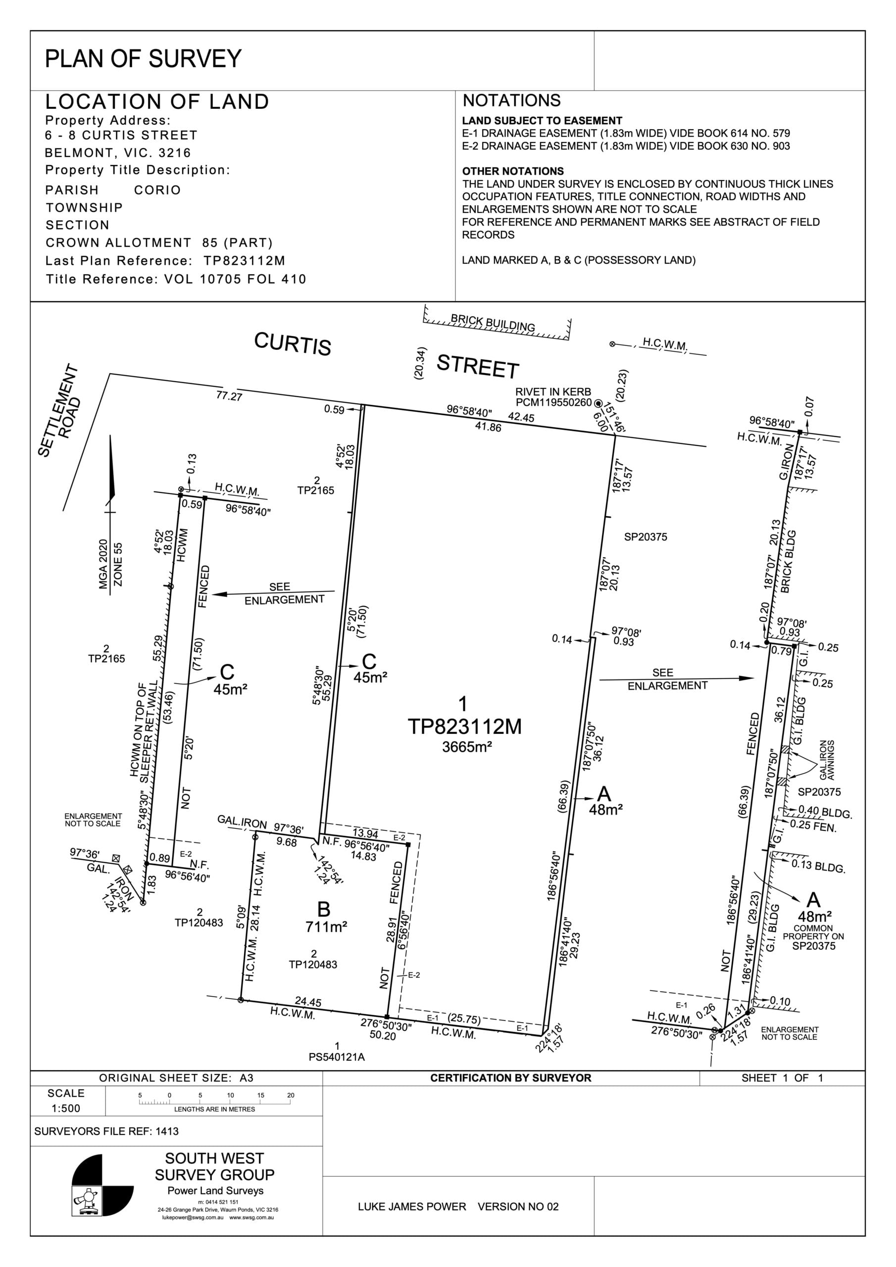
Title Consolidation
The process of joining two or more parcels into one. This may be required as a permit condition for development.
Boundary Realignment
Similar to the subdivision process in part, boundary realignment surveys do not create any new parcels but move existing boundaries. The process normally involves multiple property owners working together to achieve the desired result.
Creation & Removal of Easements & Restrictions
Create, vary or remove easements or restrictions on land, subject to Council and Authorities approval.
Lease Surveys
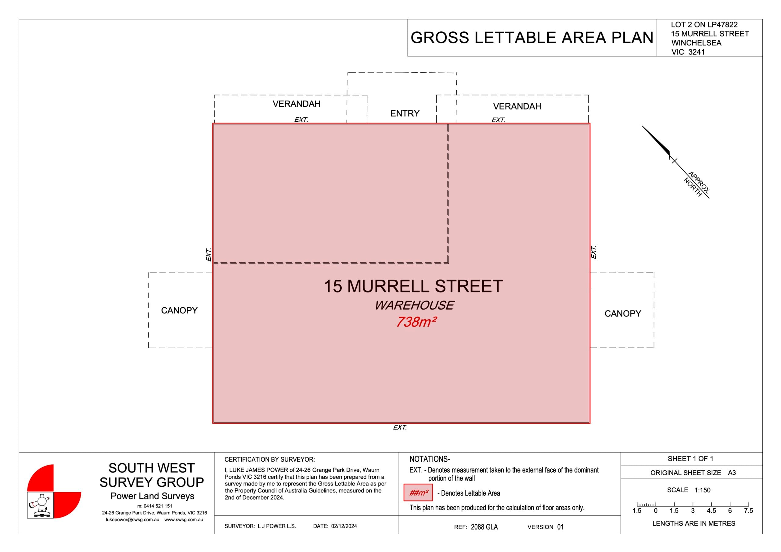
Lease plans can be required for agreements with land owners, authorities and other third parties.
Lease plans are also required for floor area measurement for commercial, office, retail and industrial properties, drafted and measured using the Property Council of Australia Guidelines.