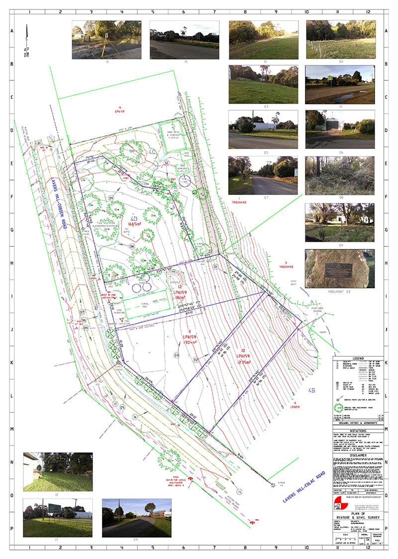

A feature and level survey is a detailed survey mapping process that measures the physical features, ground levels and contours of a piece of land to create an accurate plan for building and development.
Site Analysis Surveys
Feature & Level surveys to rescode specifications to support architectual, engineering and landscape design and large scale infrastructure projects.
GPS & Control Surveys
Control networks and digital terrain modelling over large areas including establishment of localization for machine control.
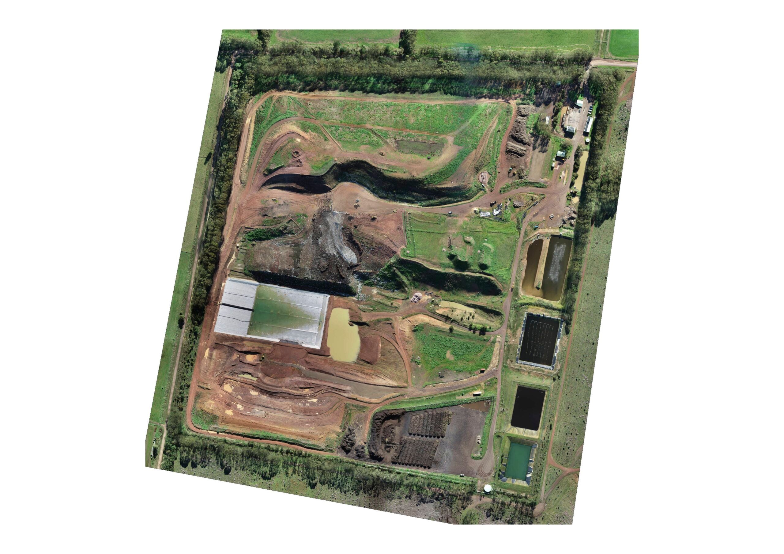
UAV Surveys
Remotely Piloted Aircraft Systems (RPAS) also known as drones or UAVs. RPA offer a product boost for data collection for aerial surveys, mapping, asset inspection and aerial photography.